B21, China Town Mall, Midrand

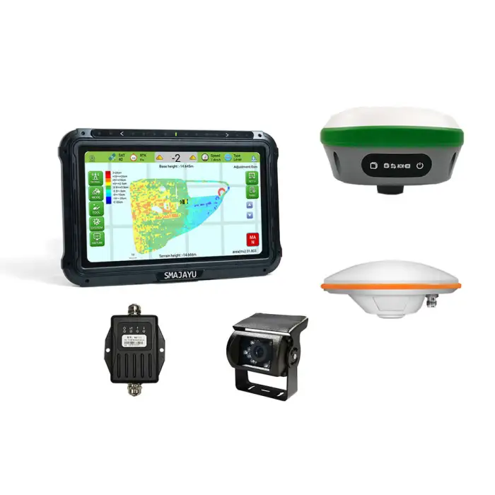
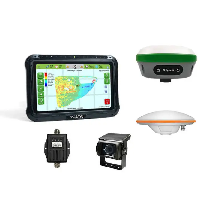
JYL20 GPS GNSS Land Leveling System for Tractor Precision Agriculture Equipments
Asset finance available
Do you want funding for this equipment?
Afrimart can connect you with trusted funding partners who specialise in asset finance for businesses like yours. Compare options and apply in minutes — final approval is subject to provider review.
Check funding options
Secure & no obligation

- Section : Machinery
- Category : Industrial Machinery
- SKU : 1601094164054

JYL20 GPS GNSS Land Leveling System for Tractor Precision Agriculture Equipments
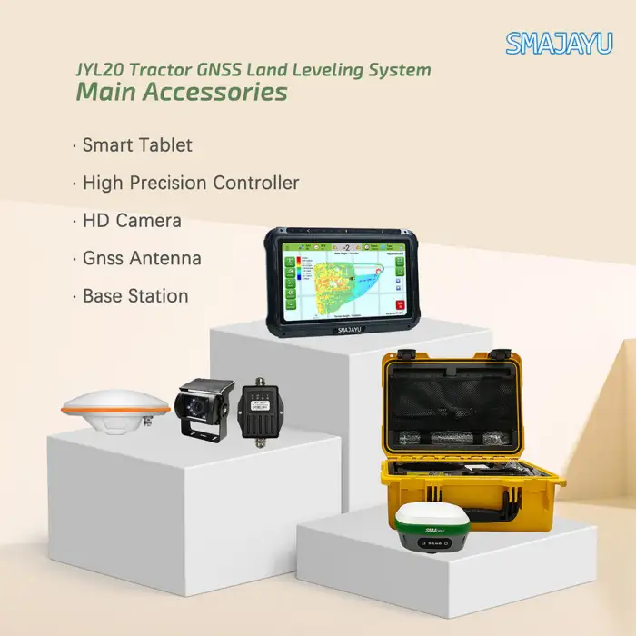
The JYL20 GPS GNSS Land Leveling System is an advanced tool designed for precision agriculture. This system helps farmers level their land efficiently, ensuring optimal crop growth. With its user-friendly interface and powerful features, it is perfect for modern farming needs.
Specifications
| Attribute | Details |
|---|---|
| Brand Name | SMAJAYU |
| Operating System | Android |
| CPU | Quad-Core 1.5GHz |
| Memory | 2GB RAM + 16GB ROM |
| LCD | 10.1'' Capacitive Touch Screen |
| Power Input | 9V~36V DC |
| Resolution | 1024x600 pixels |
| Weight | 15 kg |
| Warranty of Core Components | 1 Year |
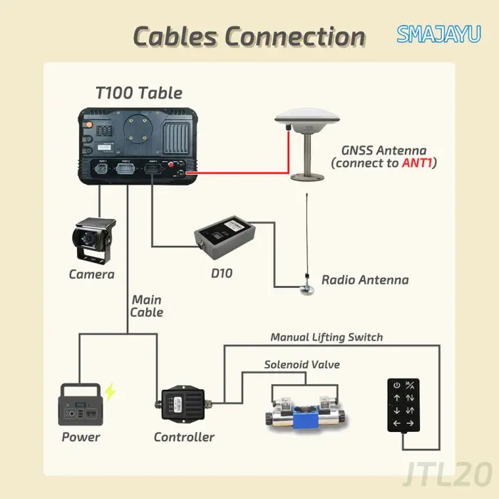
| Communication | Wi-Fi, Cellular, USB, BT |
| Bluetooth Version | 4.0 |
Key Features
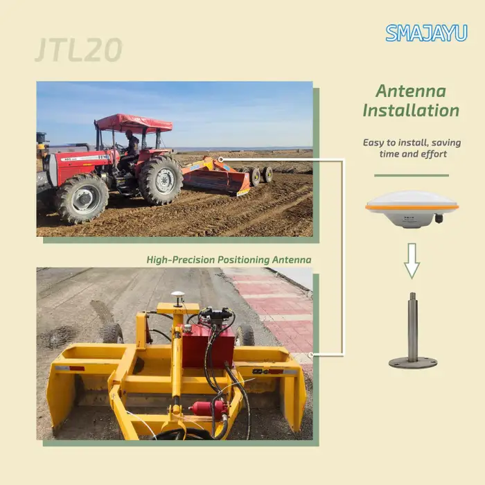
- Advanced land leveling technology
- User-friendly 10.1'' touch screen
- Quad-Core CPU for fast performance
- Multiple communication options: Wi-Fi, Cellular, USB, and Bluetooth
- Durable with a 1-year warranty on core components
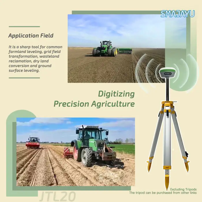
Applications
- Farming and agriculture
- Land leveling for crop fields
- Precision agriculture projects
- Soil management and assessment
- Enhancing irrigation efficiency
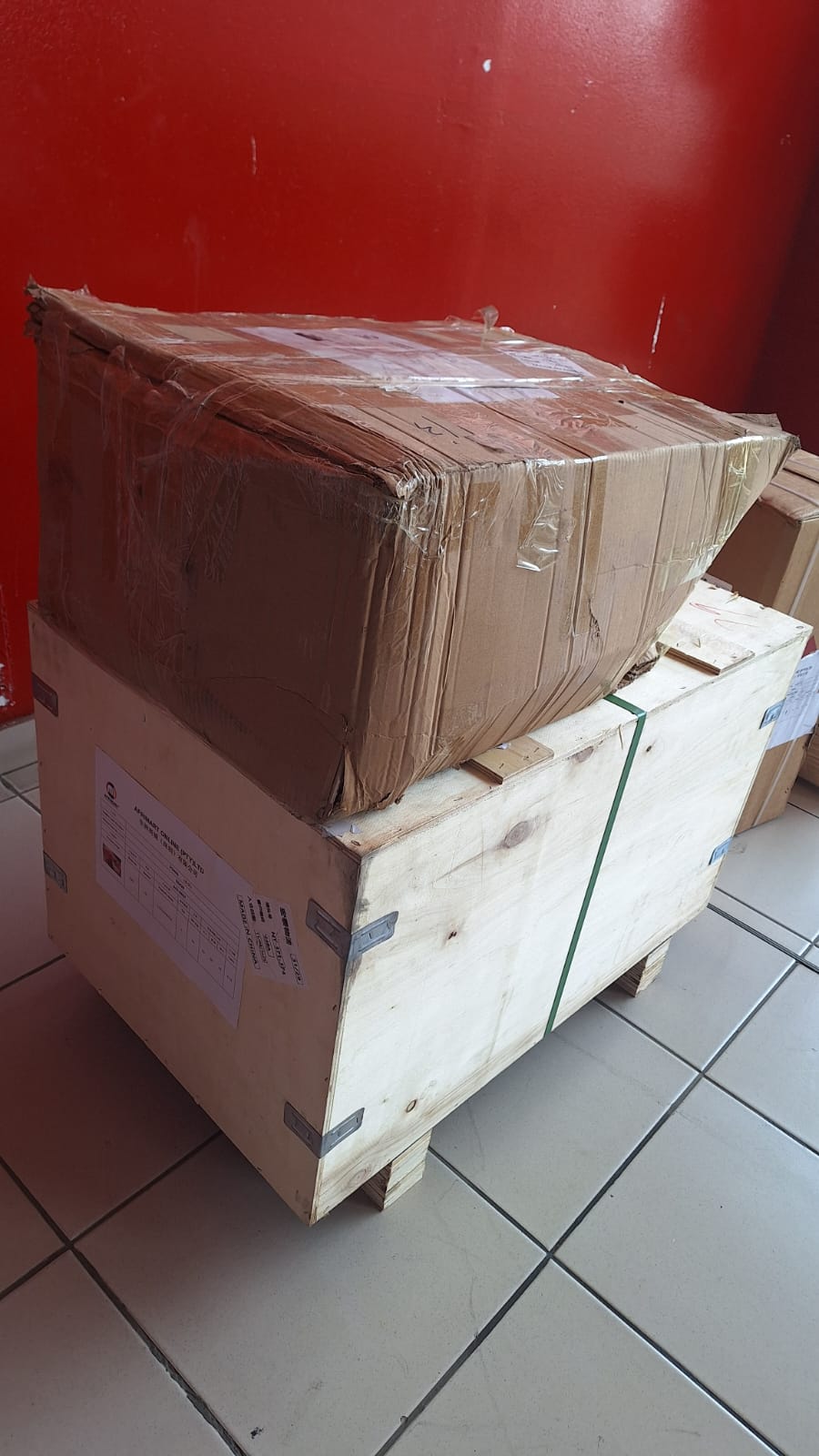
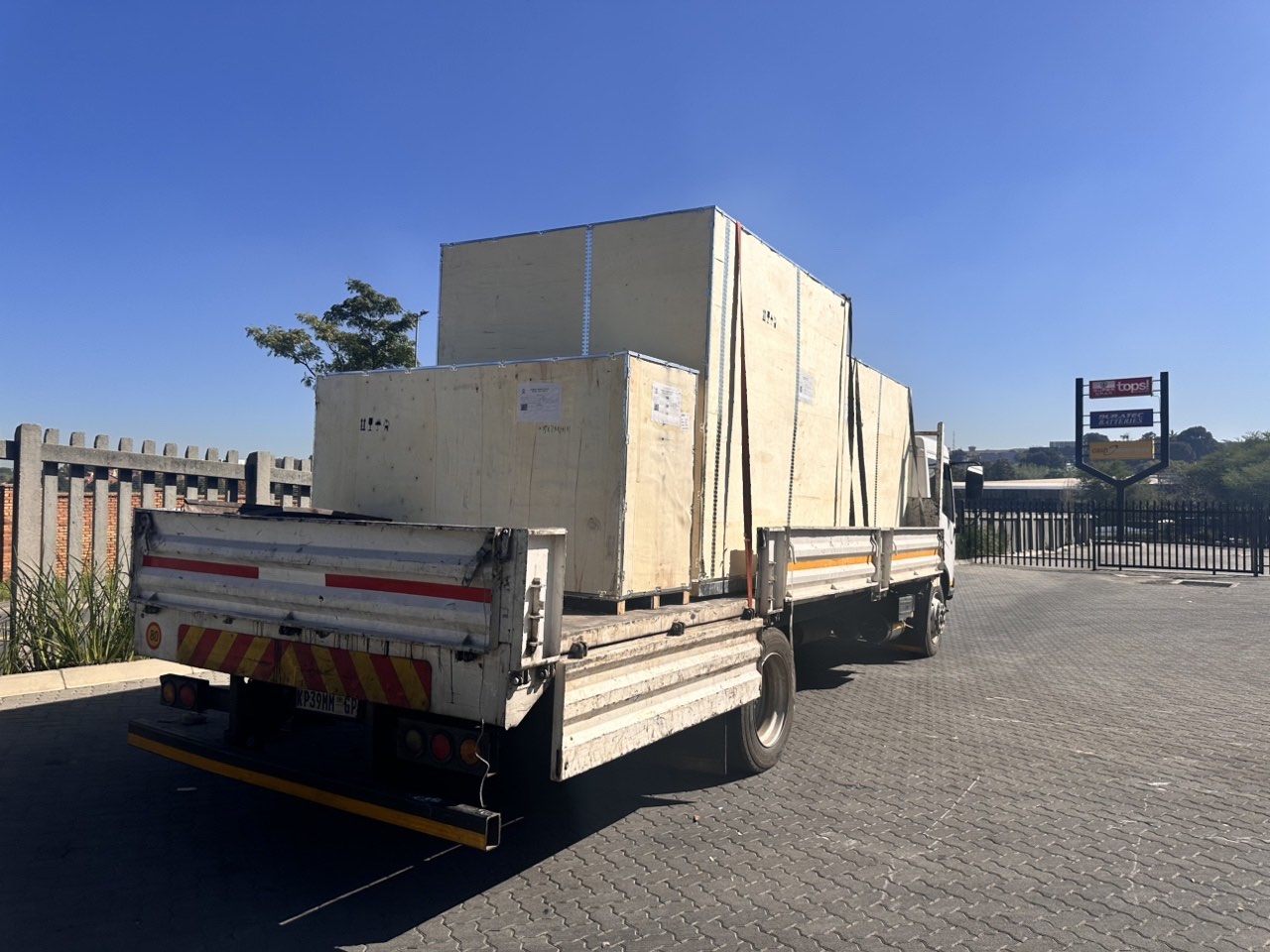
Product Info Gallery
- Shipping Timeframes: All orders are processed within 2-5 business days (excluding weekends and holidays). After your order has been processed, the estimated delivery time is before 24 Aug, 2026, depending on customs, Please note that due to high demand, some items may experience longer shipping times, which will be communicated at order confirmation email.
- Order Processing Time: Please allow 2-5 business days for us to process your order before it is shipped . Orders placed after 16:00 on Fridays, or during weekends and public holidays, will begin processing on the next business day. Processing times may be extended during peak seasons or sales events.
- Manufacturing Time: Some products needs manufacturing time, the manufacturing process will take approximately 10-30 business days depending on the product. This timeframe may vary depending on the complexity of the product and current demand. but this will be communicated with you during order confirmation.
- Returns and Exchanges: We offer a 30-day return policy for most items. If you are not completely satisfied with your purchase, you may return it within 30 days of receipt for a refund or exchange. Items must be unused, in their original packaging, and accompanied by proof of purchase. Return shipping costs are the responsibility of the customer, unless the item was damaged or defective upon arrival.
1. What is the JYL20 GPS GNSS Land Leveling System?
The JYL20 GPS GNSS Land Leveling System is an advanced tool designed for precision agriculture that helps farmers efficiently level their land to ensure optimal crop growth.
2. What are the key features of the JYL20 system?
Key features include advanced land leveling technology, a user-friendly 10.1'' touch screen, a Quad-Core CPU for fast performance, and multiple communication options such as Wi-Fi, Cellular, USB, and Bluetooth.
3. What makes this system suitable for modern farming?
The JYL20 system is designed with a user-friendly interface, advanced technology for precision agriculture, and features that enhance soil management and irrigation efficiency, making it ideal for modern farming needs.
4. What is the warranty period for the JYL20 system?
The JYL20 GPS GNSS Land Leveling System comes with a 1-year warranty on core components.
5. What operating system does the JYL20 use?
The JYL20 GPS GNSS Land Leveling System operates on the Android operating system.
6. What are the power input requirements for the JYL20?
The system requires a power input of 9V to 36V DC.
7. How much does the JYL20 weigh?
The JYL20 GPS GNSS Land Leveling System weighs approximately 15 kg.
8. What type of display does the JYL20 have?
The JYL20 features a 10.1'' capacitive touch screen with a resolution of 1024x600 pixels.
9. Can the JYL20 system connect to the internet?
Yes, the JYL20 GPS GNSS Land Leveling System can connect to the internet via Wi-Fi and cellular connections.
10. What type of crops can benefit from using the JYL20 system?
The JYL20 system is suitable for various crops that require precise land leveling for optimal growth, including grains, vegetables, and other agricultural products.
11. Is the JYL20 easy to install and use?
Yes, the JYL20 GPS GNSS Land Leveling System is designed to be user-friendly, making it easy to install and operate for farmers of all levels.
12. How does the JYL20 improve irrigation efficiency?
By leveling the land accurately, the JYL20 system ensures better water distribution, reducing runoff and improving irrigation efficiency for crops.
13. What is the CPU specification of the JYL20?
The JYL20 is equipped with a Quad-Core 1.5GHz CPU, providing fast performance for various tasks.
14. Does the JYL20 support Bluetooth connectivity?
Yes, the JYL20 GPS GNSS Land Leveling System supports Bluetooth version 4.0 for wireless communication.
15. Can the JYL20 be used for soil management and assessment?
Absolutely, the JYL20 system is effective for soil management and assessment, helping farmers make informed decisions about their land.
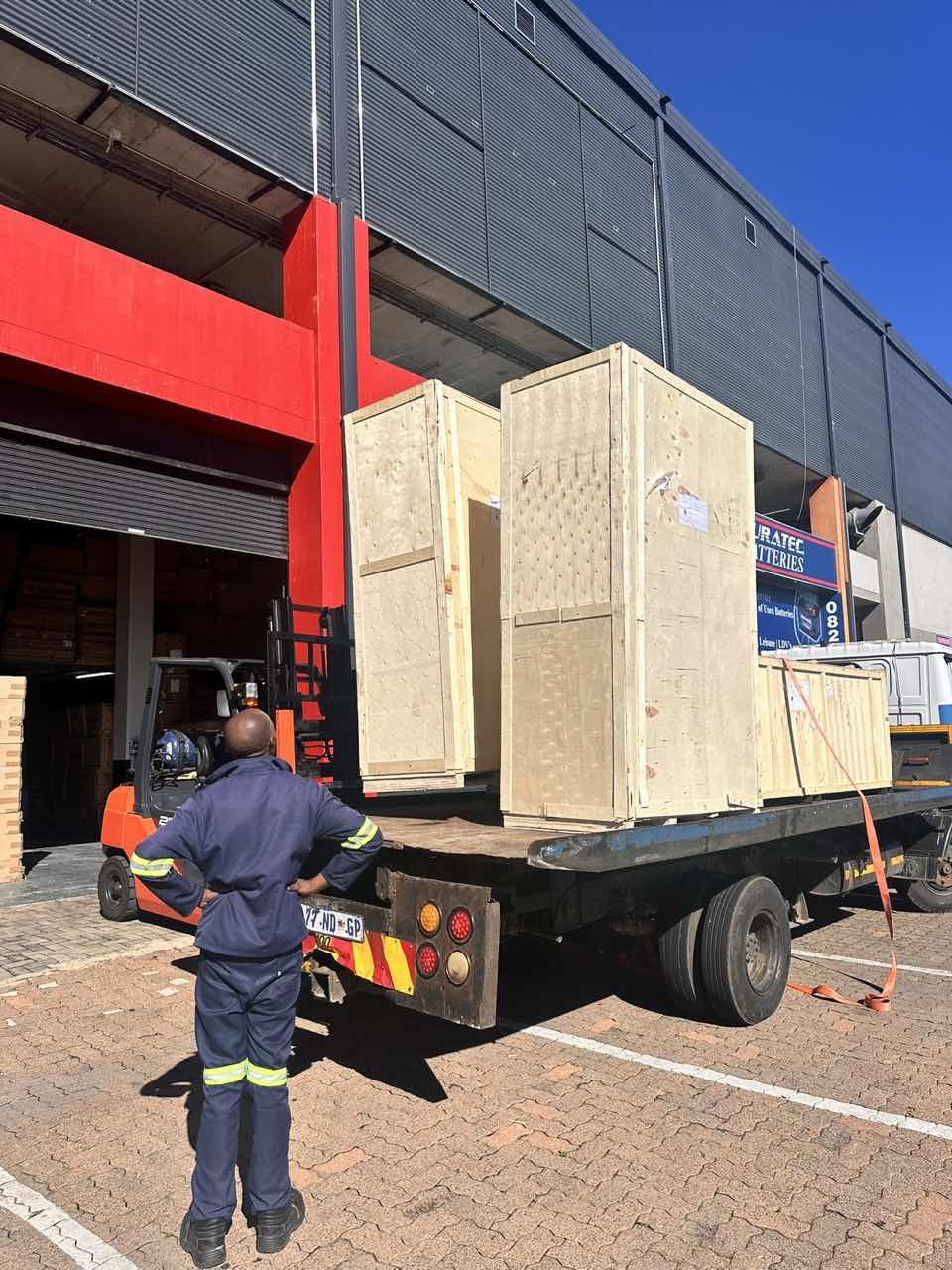
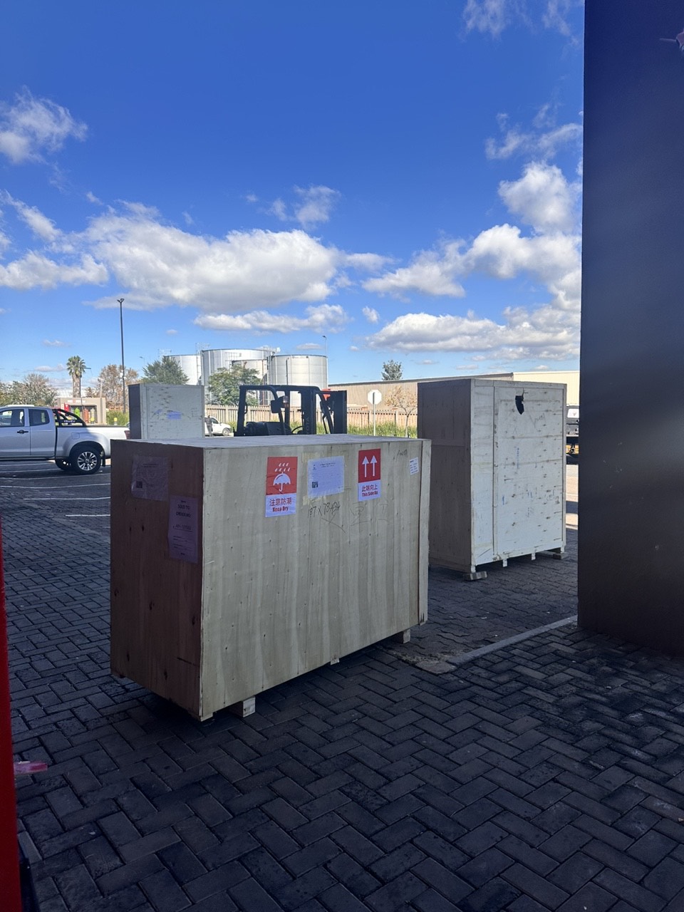
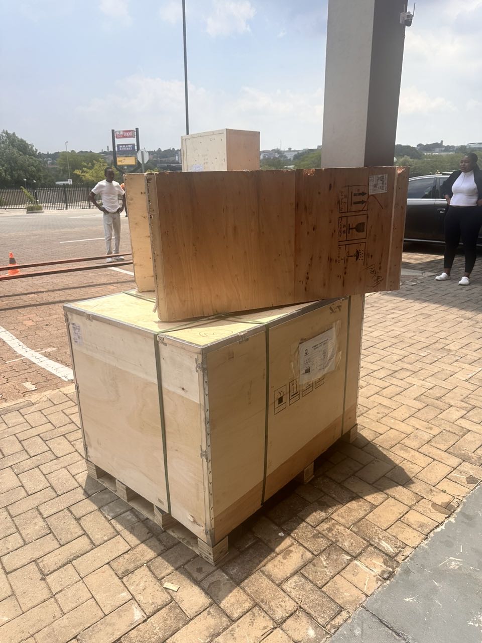
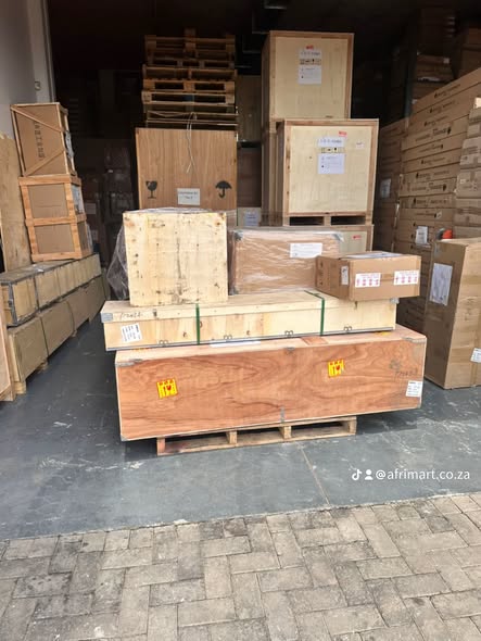
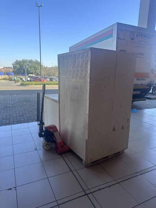
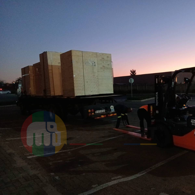
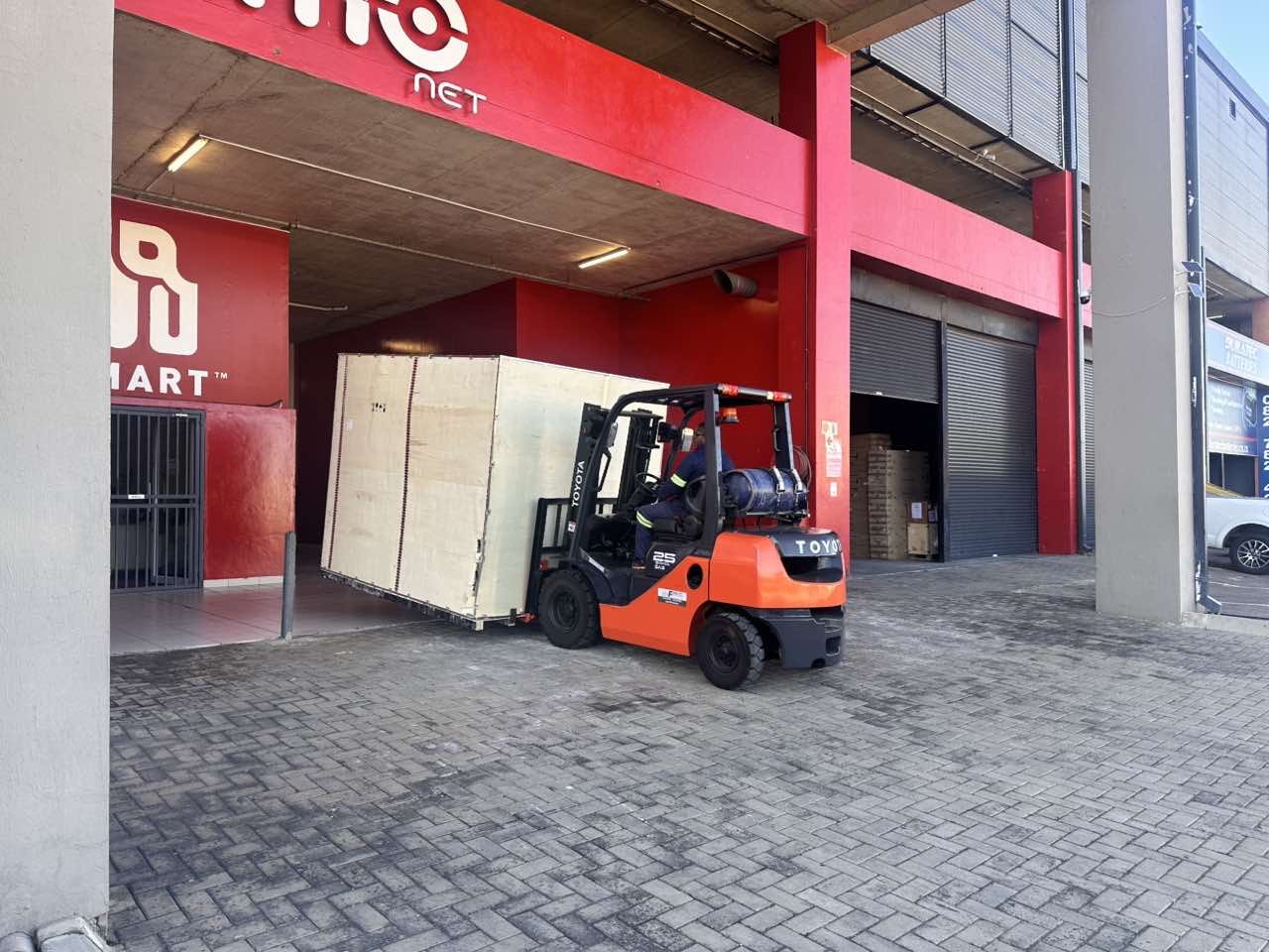
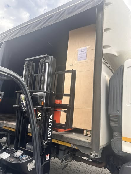
Latest Order Arrivals
Discover our latest orders

12 Heads Embroidery Machine
Toilet Paper Machine Machine

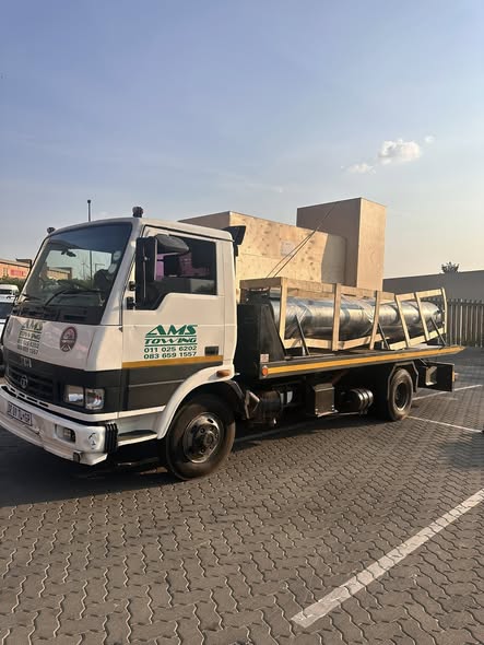
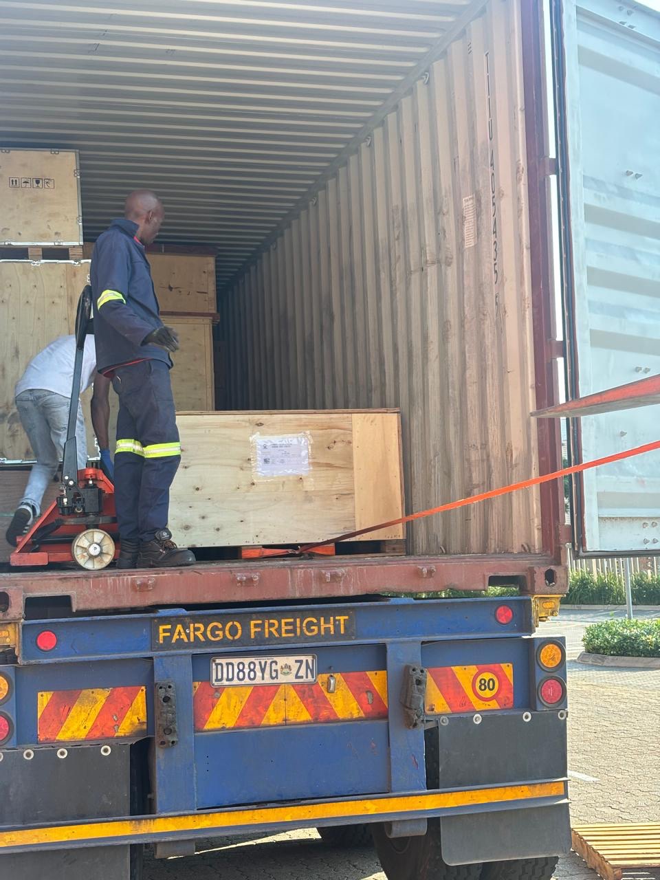
Order Collection
Cross Border Clients
Order cros border countries Collected

Industrial Machine Cllection
Agriculture Processing Machines

Ready for collection

Water Pump Equipment
Packaging Machine and accessories
Fabrics Manufacturing Equipment
Mining Equipments
Food Processing Machine
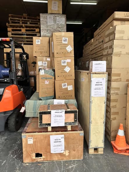
Batch of Orders
Batch of Orders
Latest Orders Labelled
wheel alignment machines
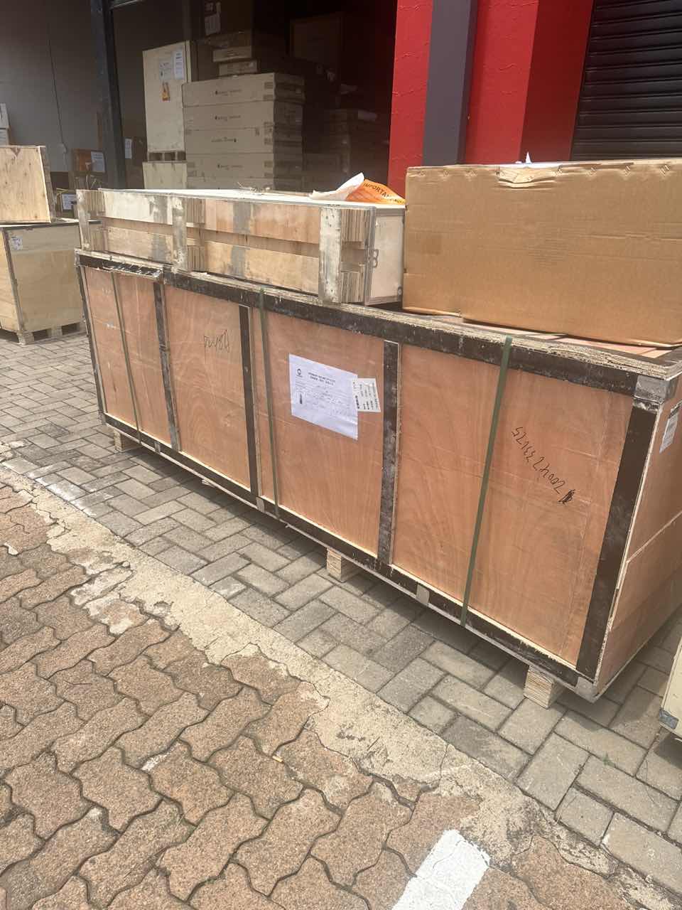
new arrivals
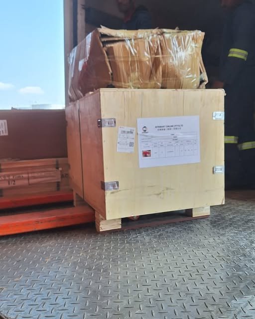
Pre Orders Offloading
Latest Arrivals
Latest Arrivals
Latest Arrivals
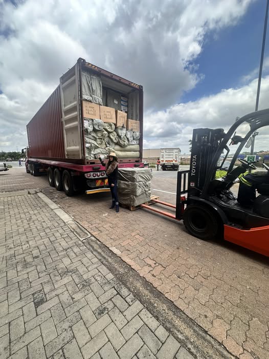
Loading
Toilet paper making machine
Toilet paper making machine
Toilet paper Rewinding Machine
latest arrivals
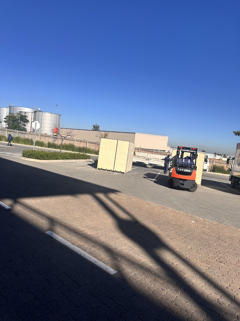
offloading
order success

order collection
order offloading