B21, China Town Mall, Midrand


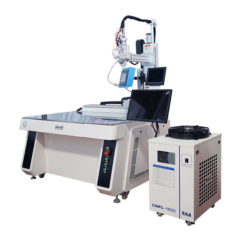
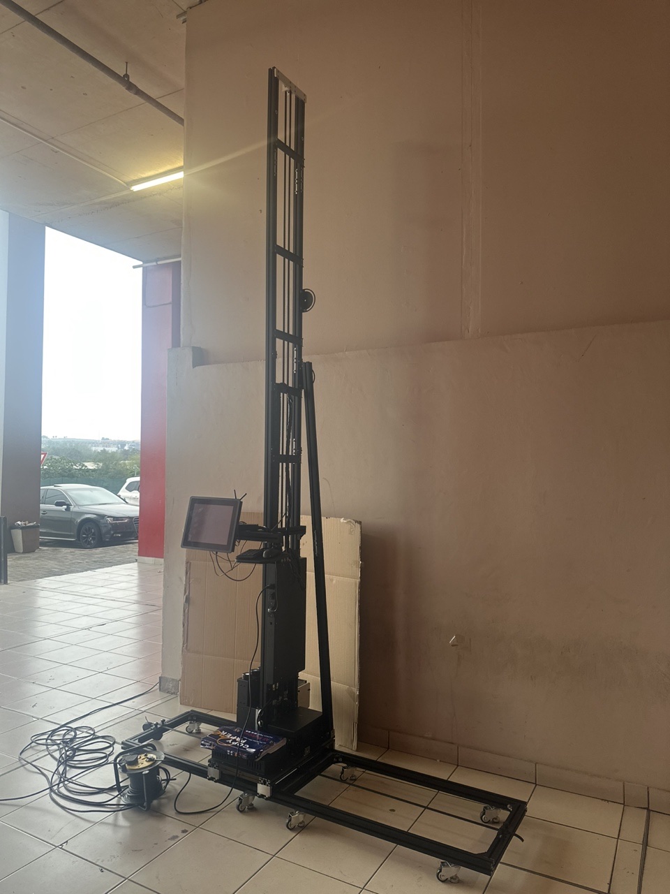
Airport Intelligent Pavement System
Asset finance available
Do you want funding for this equipment?
Afrimart can connect you with trusted funding partners who specialise in asset finance for businesses like yours. Compare options and apply in minutes — final approval is subject to provider review.
Check funding options
Secure & no obligation

- Section : Machinery
- Category : Engineering & Construction Machinery
- SKU : 1600995068920

Product Description

Airport Intelligent Pavement System
The intelligent airport pavement system can meet the business needs of daily inspection and monitoring, daily maintenance, regular investigation, special investigation and maintenance management of airport pavement health, and evaluate and predict the pavement condition in combination with airport pavement data, so as to realize the information and scientific management of airport pavement, which is an important means to improve the intelligent operation ability of airport pavement and ensure the air-side operation safety.
Product Features
| Unmanned Pavement Maintenance | Use advanced means such as robots, multi-category sensors, Beidou / GNSS and InSAR remote sensing to replace traditional manual pavement inspection and monitoring, which has obvious scientific and technological advantages in inspection quality and efficiency, pavement settlement monitoring and real-time perception of pavement characteristics. |
| Pavement Maintenance Map | Construct a high-precision pavement map of construction level, which realizes the spatio-temporal visual analysis and expression of pavement maintenance. Gather and integrate multi-source information in the map, to provide users with a comprehensive, three-dimensional and unique management carrier. |
| Pavement Maintenance Database | Record and track the whole process of the pavement, and help users to obtain the management goal of pavement maintenance at the most economical cost and the best running state through data precipitation, development and reuse. |
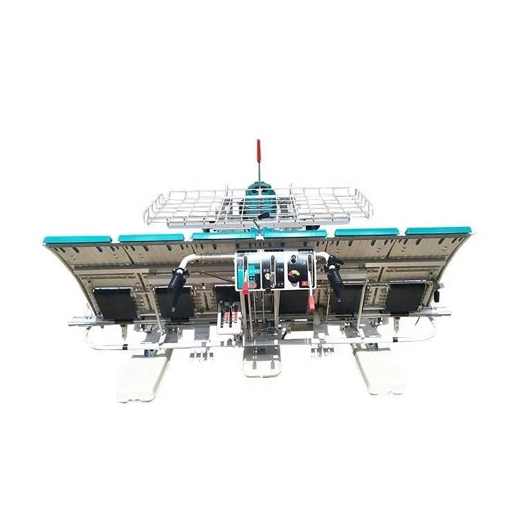
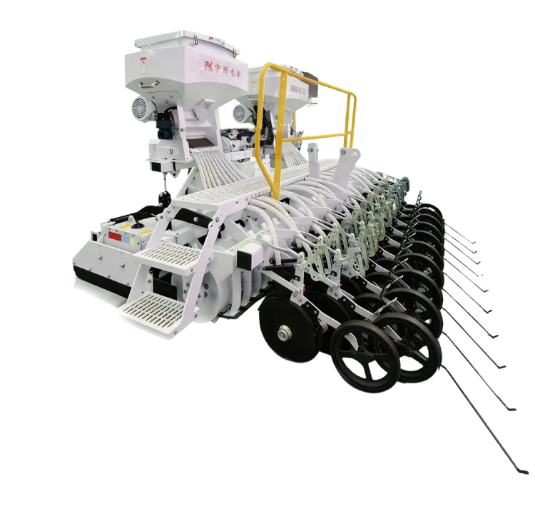
Details Images

Structural Diagram

- Shipping Timeframes: All orders are processed within 2-5 business days (excluding weekends and holidays). After your order has been processed, the estimated delivery time is before 03 Aug, 2026, depending on customs, Please note that due to high demand, some items may experience longer shipping times, which will be communicated at order confirmation email.
- Order Processing Time: Please allow 2-5 business days for us to process your order before it is shipped . Orders placed after 16:00 on Fridays, or during weekends and public holidays, will begin processing on the next business day. Processing times may be extended during peak seasons or sales events.
- Manufacturing Time: Some products needs manufacturing time, the manufacturing process will take approximately 10-30 business days depending on the product. This timeframe may vary depending on the complexity of the product and current demand. but this will be communicated with you during order confirmation.
- Returns and Exchanges: We offer a 30-day return policy for most items. If you are not completely satisfied with your purchase, you may return it within 30 days of receipt for a refund or exchange. Items must be unused, in their original packaging, and accompanied by proof of purchase. Return shipping costs are the responsibility of the customer, unless the item was damaged or defective upon arrival.
1. What is the Airport Intelligent Pavement System?
The Airport Intelligent Pavement System is a technology designed to enhance the inspection, monitoring, and maintenance of airport pavement health, ensuring safety and efficiency in air-side operations.
2. How does the system conduct pavement inspections?
The system employs unmanned technologies such as robots, multi-category sensors, Beidou/GNSS, and InSAR remote sensing to perform inspections, improving quality and efficiency compared to traditional manual methods.
3. What are the key features of the Airport Intelligent Pavement System?
Key features include unmanned pavement maintenance, a high-precision pavement maintenance map, and a comprehensive maintenance database for tracking and managing pavement conditions.
4. How does the pavement maintenance map work?
The pavement maintenance map constructs a high-precision visual representation of the pavement, integrating multi-source information for spatio-temporal analysis, aiding in effective management.
5. Can the system predict pavement conditions?
Yes, the system evaluates and predicts pavement conditions using historical and real-time data, facilitating proactive maintenance and operational planning.
6. What are the benefits of using this intelligent system?
Benefits include improved inspection quality, enhanced efficiency, reduced manual labor, better data management, and ultimately, increased safety in airport operations.
7. Is the system suitable for all types of airports?
Yes, the Airport Intelligent Pavement System is designed to meet the needs of various types of airports, regardless of size or traffic volume.
8. What kind of data does the maintenance database track?
The maintenance database tracks all processes related to pavement maintenance, including inspections, repairs, and condition assessments, to optimize management strategies.
9. How does the system ensure safety in air-side operations?
By providing accurate and timely insights into pavement conditions, the system helps prevent accidents and operational disruptions, ensuring safety for both aircraft and passengers.
10. What technology is used for pavement settlement monitoring?
The system utilizes advanced sensors and remote sensing technologies such as InSAR to monitor pavement settlement in real-time.
11. How does data reuse benefit pavement management?
Data reuse allows for cost-effective management by leveraging historical data for better decision-making and optimizing maintenance strategies based on past trends.
12. What is the significance of unmanned pavement maintenance?
Unmanned pavement maintenance reduces the need for manual inspections, minimizes human error, and allows for continuous monitoring without interrupting airport operations.
13. How can users access the pavement maintenance map?
Users can access the pavement maintenance map through the system’s interface, which provides a comprehensive view of current and historical pavement conditions.
14. What is the role of GNSS in this system?
GNSS (Global Navigation Satellite System) is used for precise location tracking and data collection during pavement inspections and monitoring, enhancing the accuracy of the information gathered.
15. How does the system improve operational efficiency?
By automating inspections and providing real-time data analysis, the system enables quicker decision-making and prioritization of maintenance tasks, which enhances overall operational efficiency.
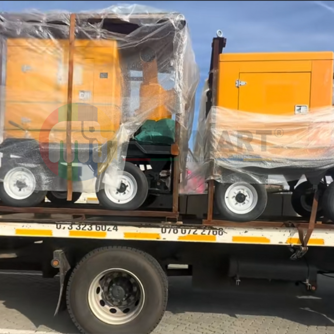
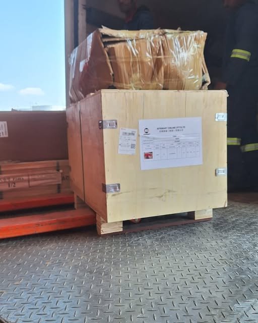
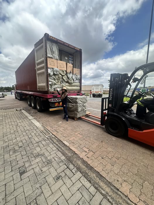
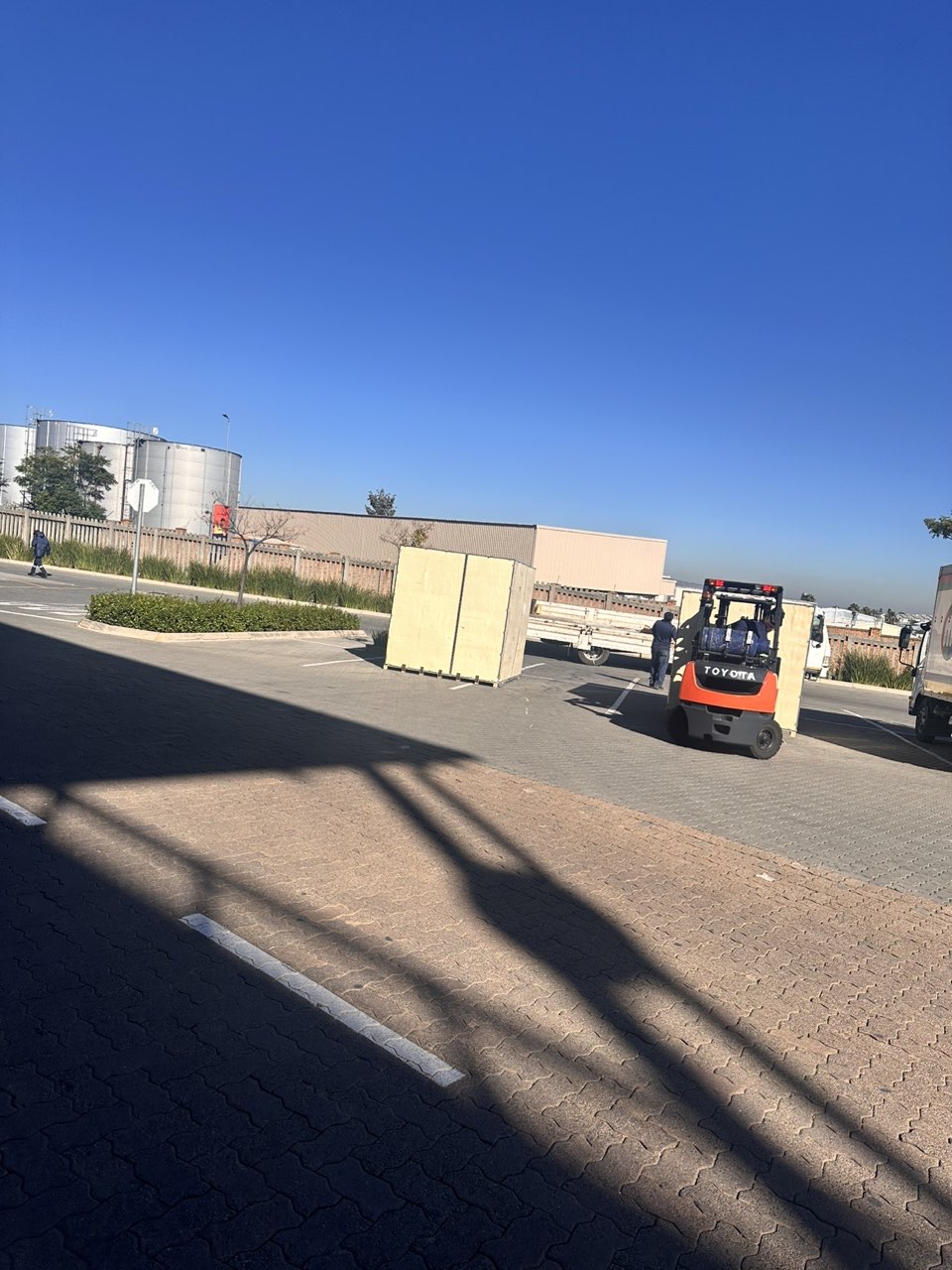
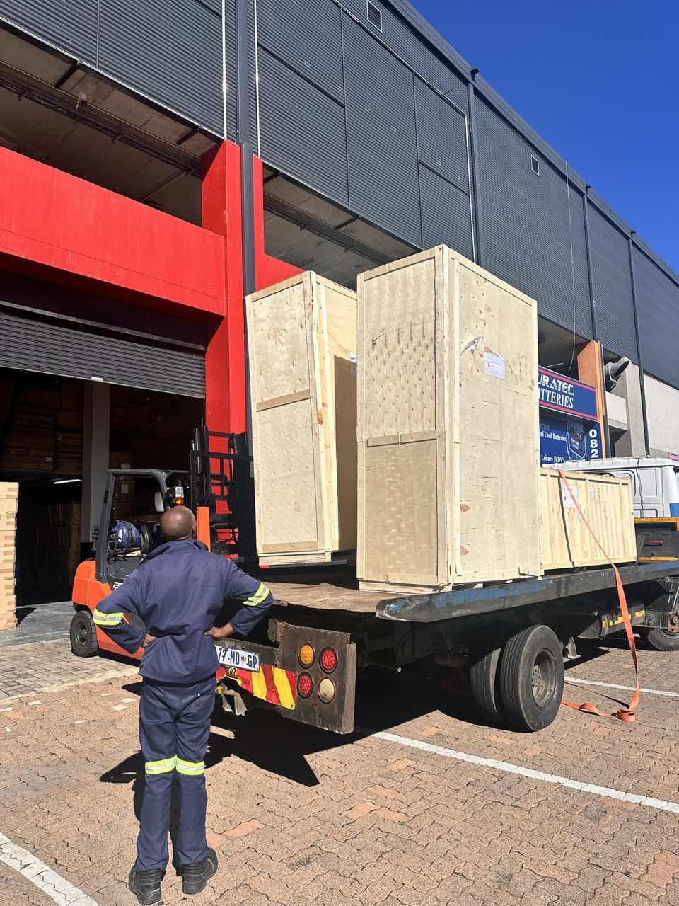
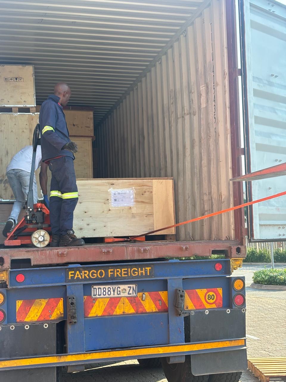
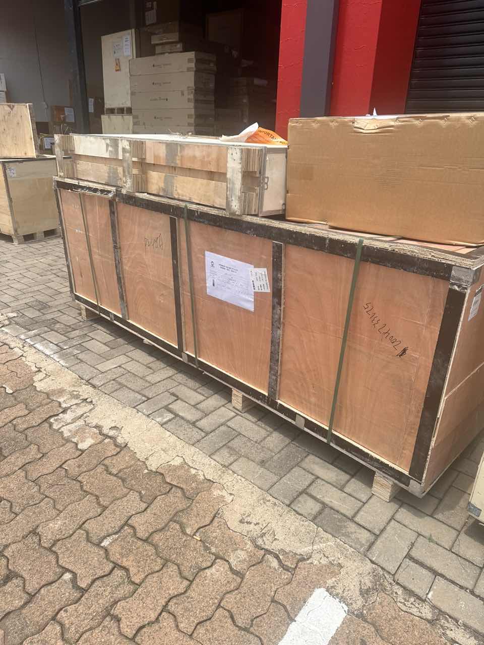
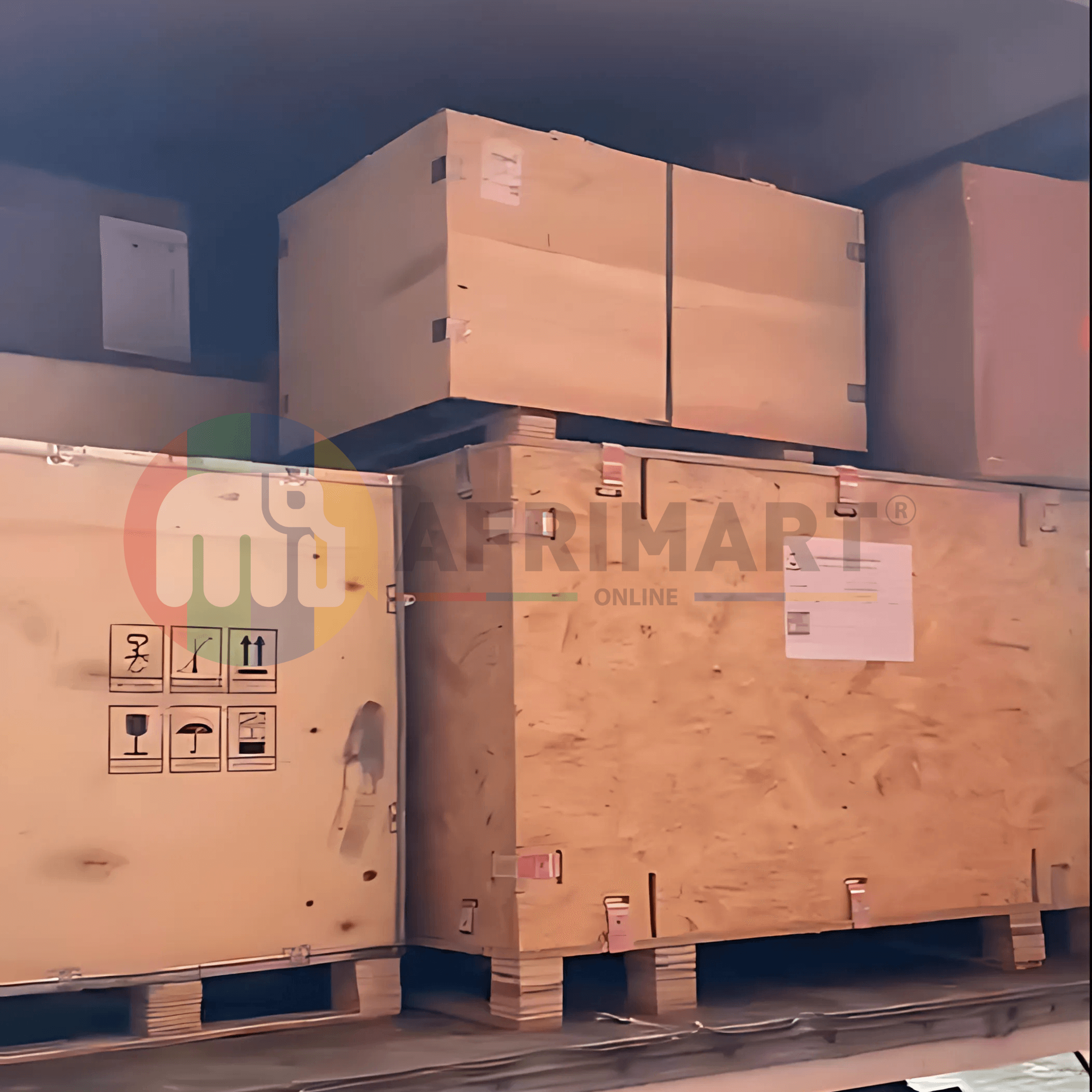
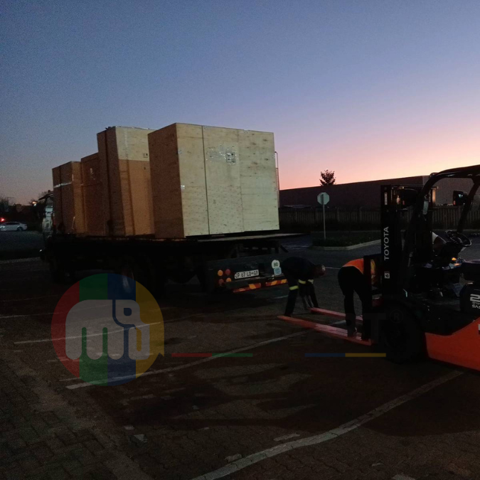
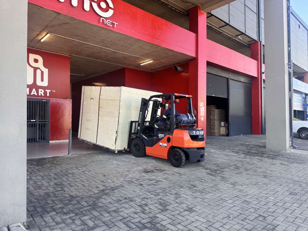
Latest Order Arrivals
Discover our latest orders

12 Heads Embroidery Machine

Toilet Paper Machine Machine

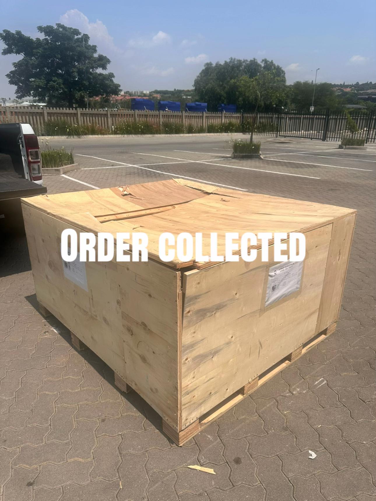
Order Collection
Cross Border Clients
Order cros border countries Collected

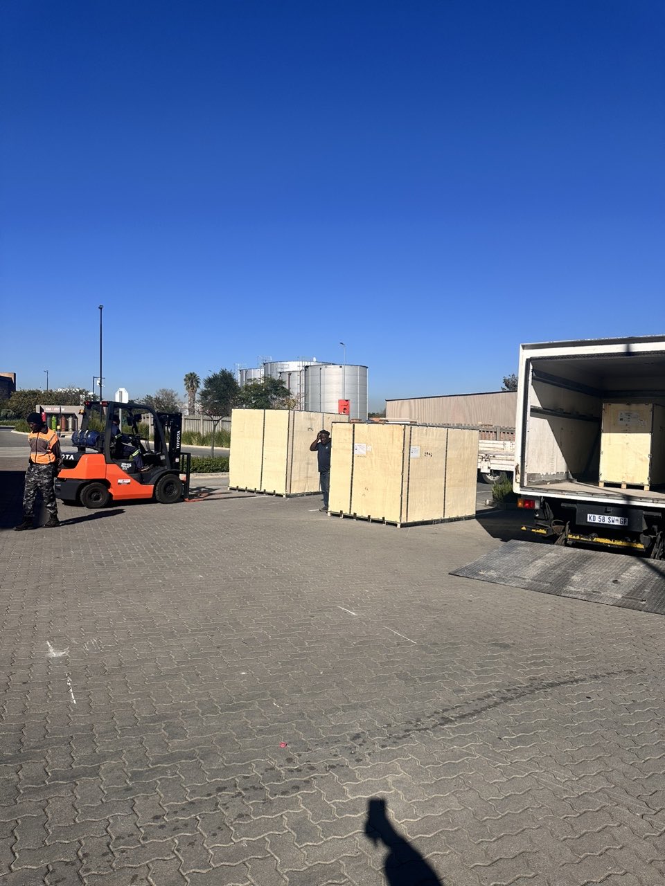
Industrial Machine Cllection
Agriculture Processing Machines

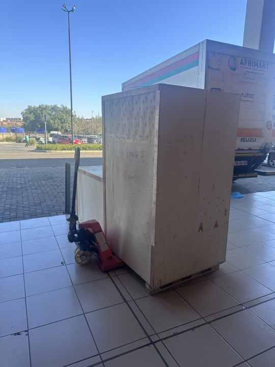
Ready for collection

Water Pump Equipment
Packaging Machine and accessories
Fabrics Manufacturing Equipment
Mining Equipments
Food Processing Machine
Batch of Orders
Batch of Orders
Latest Orders Labelled
wheel alignment machines
new arrivals
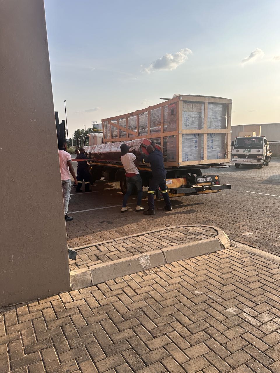
Pre Orders Offloading
Latest Arrivals
Latest Arrivals
Latest Arrivals
Loading
Toilet paper making machine
Toilet paper making machine
Toilet paper Rewinding Machine
latest arrivals
offloading
order success
order collection
order offloading